


Canvass better: Plan your routes with smart apps like FedEx does

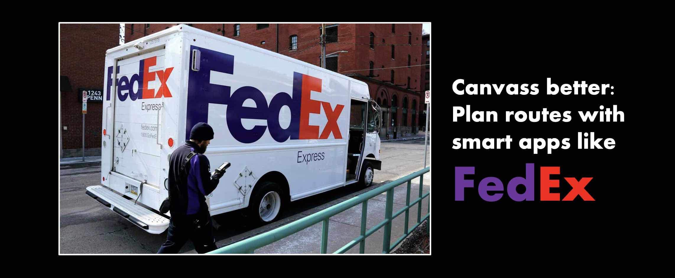
Image: FedEx
FedEx delivers millions of packages every day. Use the same tech-savvy approach to canvass better.
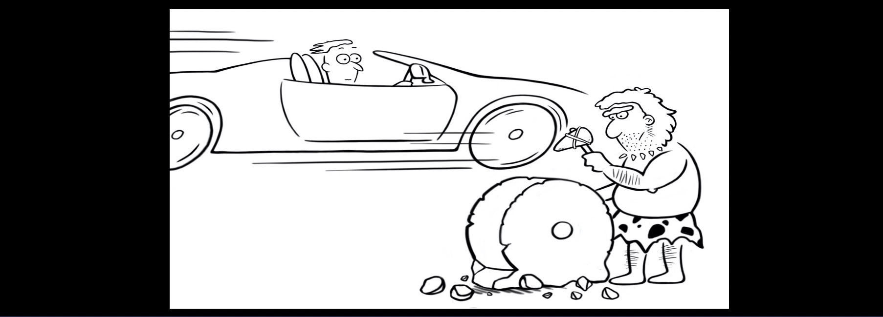
Delivering packages and contacting voters are similar: How do you reach more people, faster with fewer workers? It pays to work smarter, not harder.
Businesses have spent millions of dollars solving this problem as it lets them get more done with fewer resources, improve customer service and boost profits. And they continue to make the software even better, regardless of the election cycle. Campaigns can also plan smart walking routes with software like ArcGIS Online which works against any list of addresses – a voter file or any other list of addresses. The approach is fast and affordable and takes the guesswork out of canvassing routes. This blog explains how to plan canvassing routes in minutes for a few cents.
- Map addresses to be canvassed
- Define your canvassing criteria (time per stop etc)
- Create a walking route for each canvasser
- Monitor canvassing progress in real-time
Canvassing route planning made easy

Canvass smarter. Not harder.
Most campaigns canvass addressed from the voter file with the canvassing app from their voter file vendor like MiniVAN from NGPVAN which was recently acquired by Apax Partners, a British private equity firm. This approach works, but campaigns can do better with commercially available software that businesses use. Why?
- You do not have access to the VAN
- Canvass addresses not in the voter file like unregistered voters
- Let more people plan routes with easy to use software – not just VAN wizards
- Cut costs as these apps cost a few cents per route plan
- Cut time as walking routes are prepared in seconds
- Keep your canvassing results private and not upload them to the VAN
- Exploit software innovations by firms that invest millions regardless of the election cycle
Consider ArcGIS Online from esri, a fifty-year old commercial software firm with over 9,000 employees. It specializes in maps and data and is used by the US Government, defense agencies, global nonprofits and large corporations. (Full disclosure: DemLabs has no commercial interest in promoting ArcGIS Online)

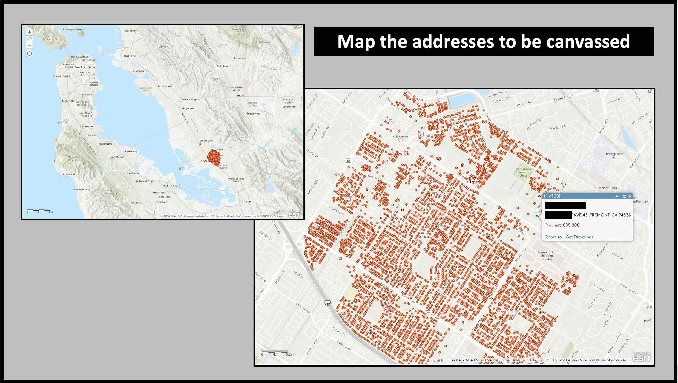
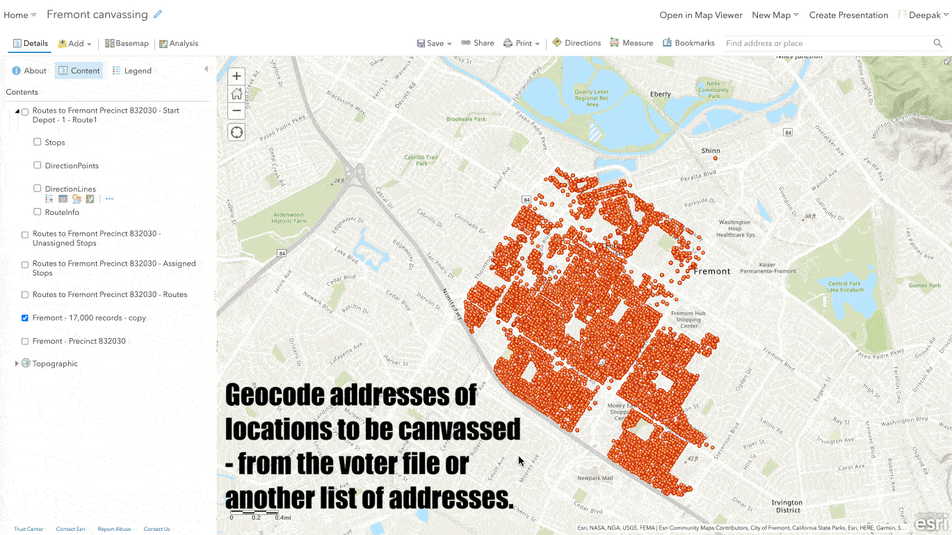
Map the addresses to be canvassed
Simply get the address you plan to canvass from the voter file or any other list of addresses. They are shown on the map in different colors based on the criteria you pick. Clicking on a dot reveals information on the household and lets the canvasser add their notes.

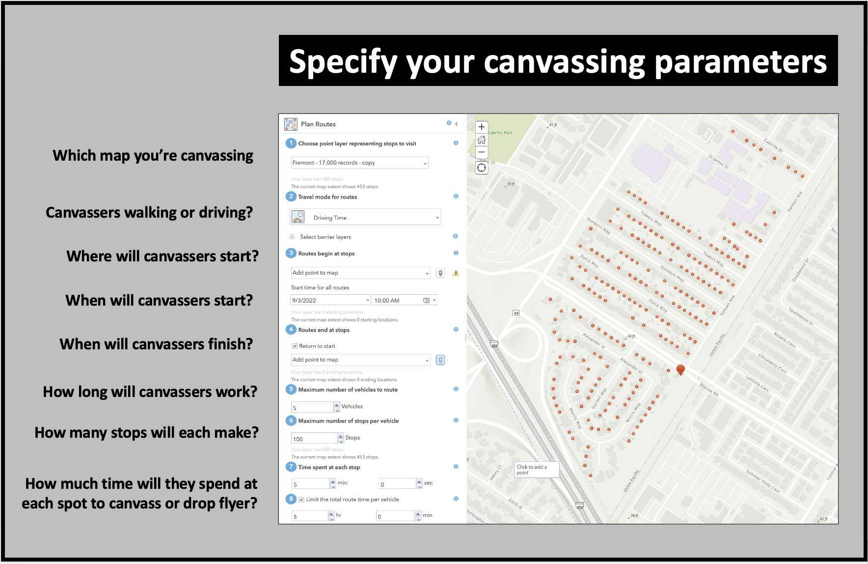
Specify your canvassing plans
Add details on your canvassing plan and let the software do the heavy lifting. You can plan canvassing routes for a neighborhood, precinct or city. Adjust your plans based on the number or canvassers you have, how long they’ll be working and how much time you expect them to spend at each spot. The software automatically takes into account traffic patterns at that time of day, steep hills they have to climb, freeways and other obstacles. Adjust your plans in seconds in case you get more volunteers or others drop out.


Prepare your canvassing routes
ArcGIS Online automatically prepares the routes for each canvasser. These are color coded with detailed instructions on how to get one from one stop to the next. Canvassers download their assigned routes on to their phones and off they go. This tech-savvy approach offers several other advantages:
- You can monitor canvassers’ progress in real time as the color of houses change on the map once they have been canvassed
- Each stop is time-stamped and geo-tagged so you know that the canvasser was really there
- You can find homes that are likely to have an unregistered voter
- Modify the questions that canvassers ask at any time
- Include a script in the canvassing app for volunteers
- Export the results of your canvass back to the VAN or to any other application
Canvass smarter – not harder

More resources for progressive canvassers
- Geo-target to assign canvassers to areas where they have more in common with residents
- How to Canvass in Areas without Cell Service: The Field Maps App
- Canvass smarter with door hangers
- Where are the people you’re looking for? Ask the map.
- Canvassers help Americans without cell phone service or internet access register to vote
- Fight rural voter suppression with better canvassing technology
- Grassroots canvassing innovations increase voter participation
- Democracy Centers: Deep canvassing basecamps
- Grassroots political campaign run with military precision in Maryland
- Canvass more people from any list with free Glide based apps
- How the Florida Key Dems located eight thousand unregistered voters
- Canvass in areas without cell service by putting the data canvassers need on their phones
- Canvassing over Facetime
- The ultimate voter registration machine
- Organizing? First build trust by sharing your story.
TakeAway: Democracy is on the ballot this November. Use the best software to get out the vote.
Deepak
DemLabs
DISCLAIMER: ALTHOUGH THE DATA FOUND IN THIS BLOG AND INFOGRAPHIC HAS BEEN PRODUCED AND PROCESSED FROM SOURCES BELIEVED TO BE RELIABLE, NO WARRANTY EXPRESSED OR IMPLIED CAN BE MADE REGARDING THE ACCURACY, COMPLETENESS, LEGALITY OR RELIABILITY OF ANY SUCH INFORMATION. THIS DISCLAIMER APPLIES TO ANY USES OF THE INFORMATION WHETHER ISOLATED OR AGGREGATE USES THEREOF.
Read in browser »
Reposted from Democracy Labs with permission.